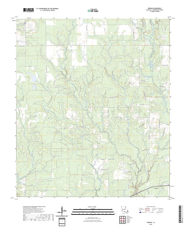
2024 Map of Kernan
USGS Topo · Published 2024About this map
Kernan anchors this low-lying region of Beauregard Parish, where a dense network of slow-moving waterways defines the landscape. The drainage pattern is exceptionally intricate, characterized by numerous glades and branches such as Mayhaw Glade and Mayhaw Branch that weave through the piney woods. The area is intersected by a grid of rural roads and timber-access lanes, including Monty Rigmaiden Rd and Cook-McCoy Rd, which provide access to the dispersed homesteads and farms scattered across the parish. The presence of features like Big Gully and Wild Cow Creek suggests a terrain shaped by seasonal water flow and wetlands. This modern survey illustrates the persistent rural character of the region, where the naming of small tributaries like Poley Branch and Bull Bayou reflects the long-standing local relationship with the marshy topography of southwestern Louisiana.
Find a feature on this map
58 named features on this map. Tap any name to fly to it.
Don’t see what you’re looking for? This feature index may not catch every label — zoom into the map to look around manually.
Map Details
Editions of this 2024 Kernan Map
This is the sole edition of this map. No revisions or reprints were ever made.
Other maps of this area

1935 · Gordon
USGS Topo · 1:31,680

1935 · Gaytine
USGS Topo · 1:31,680

1935 · Longville
USGS Topo · 1:31,680

1947 · Singer
USGS Topo · 1:31,680

1947 · Gaytine
USGS Topo · 1:31,680

1947 · DeQuincy
USGS Topo · 1:31,680

1947 · Oretta
USGS Topo · 1:31,680

1947 · Kernan
USGS Topo · 1:31,680

1947 · Longville
USGS Topo · 1:31,680

1947 · Beckwith School
USGS Topo · 1:31,680