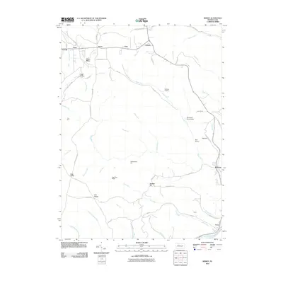
2010 Map of Kersey
USGS Topo · Published 2010About this map
Dagus Mines and the Toby Mine anchor the landscape of Jay Township, reflecting the deep-rooted mining history of Elk County. The settlement pattern follows a network of valleys and ridges, with communities like Byrnedale, Kersey, and Earlyville clustered along the main thoroughfares and historical rail lines. The terrain is marked by distinctive elevations such as Rattlesnake Hill and Jack Pine Ridge, while numerous watercourses including Little Toby Creek and Byrnes Run carve through the highland plateaus.
Find a feature on this map
65 named features on this map. Tap any name to fly to it.
Don’t see what you’re looking for? This feature index may not catch every label — zoom into the map to look around manually.
Map Details
Editions of this 2010 Kersey Map
This is the sole edition of this map. No revisions or reprints were ever made.
Other maps of this area

1929 · Clearfield
USGS Topo · 1:48,000

1929 · Penfield
USGS Topo · 1:62,500

1932 · Clearfield
USGS Topo · 1:62,500

1932 · Penfield
USGS Topo · 1:62,500

1941 · Benezette
USGS Topo · 1:62,500

1941 · Ridgway
USGS Topo · 1:62,500

1943 · Benezette
USGS Topo · 1:62,500

1944 · Ridgway
USGS Topo · 1:62,500

1957 · Warren
USGS Topo · 1:250,000

1958 · Warren
USGS Topo · 1:250,000