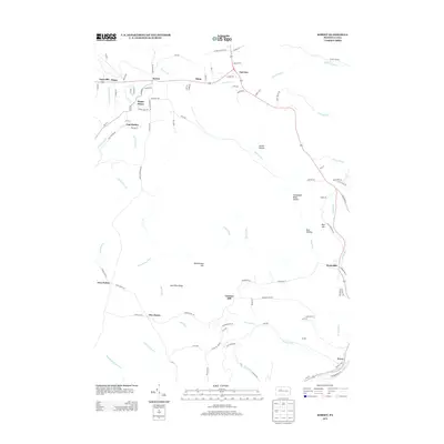
2013 Map of Kersey
USGS Topo · Published 2013About this map
Dagus Mines and the nearby settlement of Coal Hollow anchor the northwestern portion of this Elk County landscape, reflecting the region's industrial heritage. The terrain is defined by significant ridges and drainages, including Boone Mountain and Jack Pine Ridge, which channel numerous small runs toward larger waterways like Little Toby Cr and Bennett Br Sinnemahoning Cr. Small communities and named crossroads such as Earlyville, Paine, and Fairview are connected by a network of local roads including Dagus Mines Rd and Gillen Crossing Rd, following the contours of the high ground.
Find a feature on this map
104 named features on this map. Tap any name to fly to it.
Don’t see what you’re looking for? This feature index may not catch every label — zoom into the map to look around manually.
Map Details
Editions of this 2013 Kersey Map
This is the sole edition of this map. No revisions or reprints were ever made.
Other maps of this area

1929 · Clearfield
USGS Topo · 1:48,000

1929 · Penfield
USGS Topo · 1:62,500

1932 · Clearfield
USGS Topo · 1:62,500

1932 · Penfield
USGS Topo · 1:62,500

1941 · Benezette
USGS Topo · 1:62,500

1941 · Ridgway
USGS Topo · 1:62,500

1943 · Benezette
USGS Topo · 1:62,500

1944 · Ridgway
USGS Topo · 1:62,500

1957 · Warren
USGS Topo · 1:250,000

1958 · Warren
USGS Topo · 1:250,000