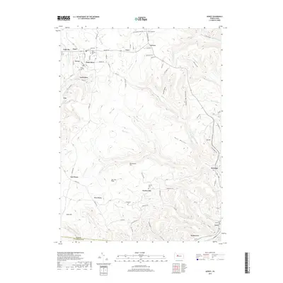
2019 Map of Kersey
USGS Topo · Published 2019About this map
Kersey and the surrounding coal-bearing ridges of Elk County define this section of the Allegheny Plateau during the late twenty-first century. The landscape is marked by its industrial heritage, specifically at Dagus Mines and Coal Hollow, where the terrain reflects generations of resource extraction. The area’s spiritual and communal history is preserved in a dense concentration of burial grounds, including Saint Boniface Cem, Maria Lutheran Cem, and the remote Hollabaugh Cem near Five Points.
Find a feature on this map
109 named features on this map. Tap any name to fly to it.
Don’t see what you’re looking for? This feature index may not catch every label — zoom into the map to look around manually.
Map Details
Editions of this 2019 Kersey Map
This is the sole edition of this map. No revisions or reprints were ever made.
Other maps of this area

1929 · Clearfield
USGS Topo · 1:48,000

1929 · Penfield
USGS Topo · 1:62,500

1932 · Clearfield
USGS Topo · 1:62,500

1932 · Penfield
USGS Topo · 1:62,500

1941 · Benezette
USGS Topo · 1:62,500

1941 · Ridgway
USGS Topo · 1:62,500

1943 · Benezette
USGS Topo · 1:62,500

1944 · Ridgway
USGS Topo · 1:62,500

1957 · Warren
USGS Topo · 1:250,000

1958 · Warren
USGS Topo · 1:250,000