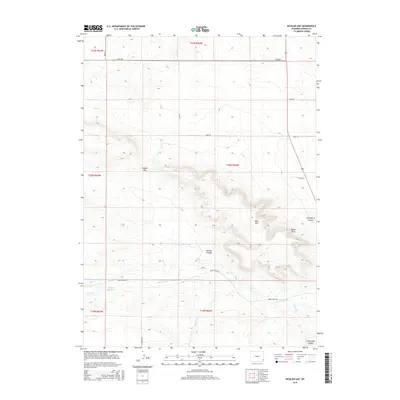
2015 Map of Kessler Gap
USGS Topo · Published 2015About this map
Kessler Gap serves as a prominent landmark in this Goshen County landscape, where the terrain is defined by dramatic elevation changes between high plateaus and deep cuts like Kessler Canyon and Atterberry Canyon. The distribution of water is central to the area's utility, evidenced by an intricate network of irrigation systems including Kessler Ditch, Bear Cr Ditch, and Lovercheck Ditch. These man-made features work in tandem with natural drainages like Fox Cr and Badger Br to manage the region's limited water resources. To the east, Bear Mtn and the landmark Squaw Rock rise above the surrounding flats, while Babbitt Reservoir provides a critical collection point for local runoff. This survey details a rural western environment where the road network, including 4 Corners Rd and Bear Creek Rd, primarily follows township and range lines to service isolated ranching or agricultural operations.
Find a feature on this map
29 named features on this map. Tap any name to fly to it.
Don’t see what you’re looking for? This feature index may not catch every label — zoom into the map to look around manually.
Map Details
Editions of this 2015 Kessler Gap Map
This is the sole edition of this map. No revisions or reprints were ever made.
Other maps of this area

1899 · Goshen Hole
USGS Topo · 1:125,000

1954 · Cheyenne
USGS Topo · 1:250,000

1958 · Cheyenne
USGS Topo · 1:250,000

1960 · Diamond Flat
USGS Topo · 1:24,000

1960 · Petsch Reservoir
USGS Topo · 1:24,000

1960 · Hawk Springs
USGS Topo · 1:24,000

1960 · Needle Rock
USGS Topo · 1:24,000

1960 · Rocky Hollow
USGS Topo · 1:24,000

1960 · Kessler Gap
USGS Topo · 1:24,000

1960 · Meriden
USGS Topo · 1:24,000