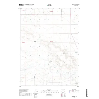
2021 Map of Kessler Gap
USGS Topo · Published 2021About this map
Kessler Gap and the surrounding high country of Goshen County dominate this landscape, where the high plains break into a series of distinctive landforms. The terrain is defined by prominent elevations such as Bear Mtn and Squaw Rock, which rise above deep incisions like Kessler Canyon and Atterberry Canyon. Water management is central to the area's geography, evidenced by the systems of the Kessler Ditch and Bear Cr Ditch that parallel natural drainages like Fox Cr and Bear Cr. This network of ditches illustrates the historical effort to harness seasonal runoff for agricultural use in an otherwise arid environment. Local transit is facilitated by a grid of county roads, including Bear Creek Rd and Co Rd 242, which connect remote ranching interests through the canyon floors and across the high plateaus.
Find a feature on this map
26 named features on this map. Tap any name to fly to it.
Don’t see what you’re looking for? This feature index may not catch every label — zoom into the map to look around manually.
Map Details
Editions of this 2021 Kessler Gap Map
This is the sole edition of this map. No revisions or reprints were ever made.
Other maps of this area

1899 · Goshen Hole
USGS Topo · 1:125,000

1954 · Cheyenne
USGS Topo · 1:250,000

1958 · Cheyenne
USGS Topo · 1:250,000

1960 · Diamond Flat
USGS Topo · 1:24,000

1960 · Petsch Reservoir
USGS Topo · 1:24,000

1960 · Hawk Springs
USGS Topo · 1:24,000

1960 · Needle Rock
USGS Topo · 1:24,000

1960 · Rocky Hollow
USGS Topo · 1:24,000

1960 · Kessler Gap
USGS Topo · 1:24,000

1960 · Meriden
USGS Topo · 1:24,000