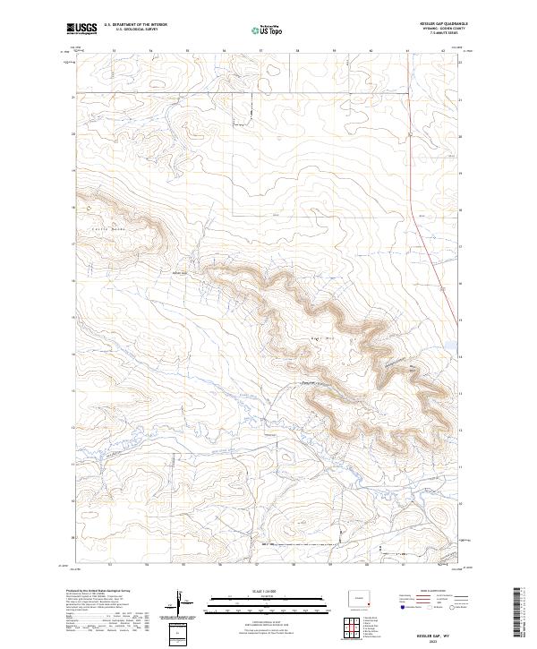
2023 Map of Kessler Gap
USGS Topo · Published 2023About this map
Kessler Gap and the surrounding high country of Goshen County define this topographic study, where the plains meet the prominent formations of the southeastern Wyoming range. The map reveals an intricate network of drainage and water management essential to this landscape, including the Kessler Ditch and Bear Creek Ditch. These man-made channels parallel the natural flow of Fox Creek and Bear Creek, illustrating how early ranching and agricultural interests utilized the local hydrology. Rising above the creek beds, significant landmarks such as Castle Rocks and Bear Mtn provided natural navigational aids. The terrain is deeply incised by multiple canyons, including Kessler Canyon, Atterberry Canyon, and Lovercheck Canyon, each carrying the names of the families and individuals who settled and worked these Wyoming rangelands.
Find a feature on this map
28 named features on this map. Tap any name to fly to it.
Don’t see what you’re looking for? This feature index may not catch every label — zoom into the map to look around manually.
Map Details
Editions of this 2023 Kessler Gap Map
This is the sole edition of this map. No revisions or reprints were ever made.
Other maps of this area

1899 · Goshen Hole
USGS Topo · 1:125,000

1954 · Cheyenne
USGS Topo · 1:250,000

1958 · Cheyenne
USGS Topo · 1:250,000

1960 · Diamond Flat
USGS Topo · 1:24,000

1960 · Petsch Reservoir
USGS Topo · 1:24,000

1960 · Hawk Springs
USGS Topo · 1:24,000

1960 · Needle Rock
USGS Topo · 1:24,000

1960 · Rocky Hollow
USGS Topo · 1:24,000

1960 · Kessler Gap
USGS Topo · 1:24,000

1960 · Meriden
USGS Topo · 1:24,000