2024 Map of Key Biscayne
USGS Topo · Published 2024About this map
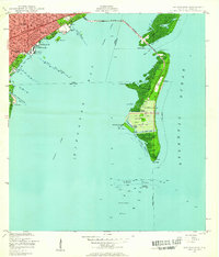
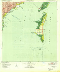
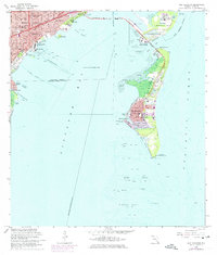
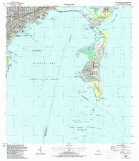
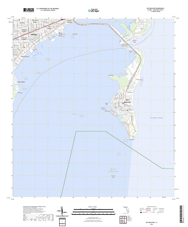
Biscayne Bay separates the mainland neighborhoods of Miami from the barrier islands of Virginia Key and Key Biscayne in this modern topographical survey. Along the western coastline, established residential enclaves like Coconut Grove, Silver Bluff Estates, and Brickell Hammock reveal a densely settled landscape defined by a grid of numbered streets and named avenues. The waterfront is deeply indented by artificial and natural waterways, including the Coral Gables Waterway and the Dinner Key Channel, which serve a marine-focused community.
Find a feature on this map
95 named features on this map. Tap any name to fly to it.
Don’t see what you’re looking for? This feature index may not catch every label — zoom into the map to look around manually.
Map Details
Editions of this 2024 Key Biscayne Map
This is the sole edition of this map. No revisions or reprints were ever made.
Historical Maps of Ocean View Heights Through Time
6 maps found