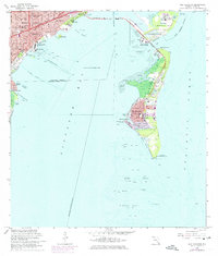
1962 Map of Key Biscayne
USGS Topo · Published 1975About this map
The Biscayne Bay waterfront and the barrier islands of Virginia Key and Key Biscayne define this coastal landscape. Near the mainland, the Vizcaya estate and Brickell Hammock stand as landmarks of the early twentieth-century development that shaped Miami and the Coconut Grove neighborhood. The map illustrates a period of mid-century growth, featuring established subdivisions like Silver Bluff Estates and Ocean View Heights alongside public recreation sites including Marine Stadium and the Seaquarium.
Find a feature on this map
63 named features on this map. Tap any name to fly to it.
Don’t see what you’re looking for? This feature index may not catch every label — zoom into the map to look around manually.
Map Details
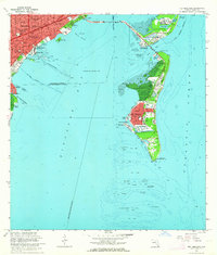
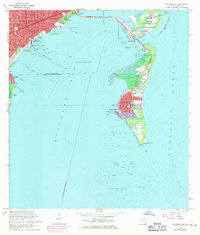
Editions of this 1962 Key Biscayne Map
3 editions found
Other maps of this area

1947 · Key Biscayne
USGS Topo · 1:24,000

1948 · Soldier Key
USGS Topo · 1:24,000

1949 · Key Biscayne
USGS Topo · 1:24,000

1949 · Perrine
USGS Topo · 1:24,000

1950 · Hialeah
USGS Topo · 1:24,000

1950 · Miami
USGS Topo · 1:24,000

1950 · South Miami
USGS Topo · 1:24,000

1956 · Perrine
USGS Topo · 1:24,000

1956 · South Miami
USGS Topo · 1:24,000
1956 · Soldier Key
USGS Topo · 1:24,000