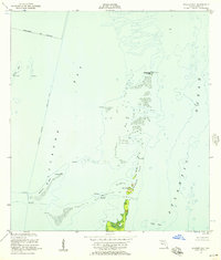
1956 Map of Soldier Key
USGS Topo · Published 1957About this map
Biscayne Bay and the Atlantic Ocean define this maritime survey of the upper Florida Keys during the mid-1950s. The landscape is a complex of shallow banks and coral formations, most notably the chain including Soldier Key, the Ragged Keys, and the northern reach of Sands Key. Navigational markers and tidal data dominate the nautical character of the sheet, highlighting the Intracoastal Waterway and its Project Depth 7 Feet as it cuts south through the bay. Notable land-based features are scarce on these low-lying islands, though a Lookout Tower is recorded on the southern portion of the Ragged Keys. The map documents the aquatic boundary of the Coral Gables City Boundary, illustrating how municipal limits extended into the open water. Shoals like Featherbed Bank and Bowles Bank provide a detailed look at the submerged topography before later environmental changes and modern recreational development altered the keys' character.
Find a feature on this map
13 named features on this map. Tap any name to fly to it.
Don’t see what you’re looking for? This feature index may not catch every label — zoom into the map to look around manually.
Map Details
Editions of this 1956 Soldier Key Map
3 editions found
Other maps of this area

1947 · Key Biscayne
USGS Topo · 1:24,000

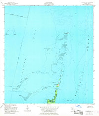
1948 · Soldier Key
USGS Topo · 1:24,000

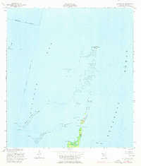
1949 · Elliott Key
USGS Topo · 1:24,000

1949 · Key Biscayne
USGS Topo · 1:24,000

1949 · Arsenicker Keys
USGS Topo · 1:24,000

1949 · Perrine
USGS Topo · 1:24,000

1950 · South Miami
USGS Topo · 1:24,000
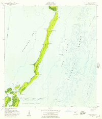
1956 · Elliott Key
USGS Topo · 1:24,000

1956 · Perrine
USGS Topo · 1:24,000

1956 · South Miami
USGS Topo · 1:24,000