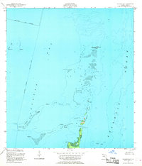
1956 Map of Soldier Key
USGS Topo · Published 1968About this map
Soldier Key and the northern reaches of the Ragged Keys anchor this maritime survey of the shallow waters between Biscayne Bay and the open Atlantic Ocean. The map reveals a delicate ecosystem defined by shifting shoals and tidal banks, such as Featherbed Bank and Bowles Bank, which dictate navigation outside the maintained Intracoastal Waterway.
Find a feature on this map
20 named features on this map. Tap any name to fly to it.
Don’t see what you’re looking for? This feature index may not catch every label — zoom into the map to look around manually.
Map Details
Editions of this 1956 Soldier Key Map
3 editions found
Other maps of this area

1947 · Key Biscayne
USGS Topo · 1:24,000

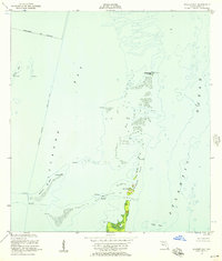
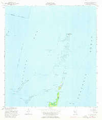
1948 · Soldier Key
USGS Topo · 1:24,000

1949 · Elliott Key
USGS Topo · 1:24,000

1949 · Key Biscayne
USGS Topo · 1:24,000

1949 · Arsenicker Keys
USGS Topo · 1:24,000

1949 · Perrine
USGS Topo · 1:24,000

1950 · South Miami
USGS Topo · 1:24,000
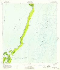
1956 · Elliott Key
USGS Topo · 1:24,000

1956 · Perrine
USGS Topo · 1:24,000

1956 · South Miami
USGS Topo · 1:24,000