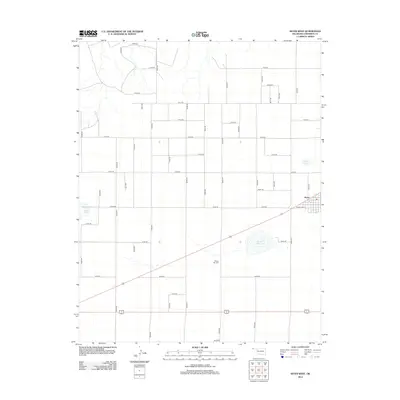
2012 Map of Keyes West
USGS Topo · Published 2012About this map
Keyes anchors the eastern edge of this Cimarron County landscape, appearing as a compact grid of streets including Ramsey Blvd. The surrounding high plains of the Oklahoma Panhandle are defined by a rigorous network of section-line roads, such as N0370 Rd and E0120 Rd, which structure the agricultural and ranching territory. Scattered among these wide-open spaces are seasonal water bodies like Castor Lake, Slimp Lake, and the larger Willow Bar Lake. This specific environment illustrates the intersection of early twentieth-century cemetery placement and local geography at Willow Bar Cem, located just west of its namesake lake. The map reflects a modern era of rural land management where traditional town life meets an expansive, surveyed grid of transportation and natural catchments.
Find a feature on this map
41 named features on this map. Tap any name to fly to it.
Don’t see what you’re looking for? This feature index may not catch every label — zoom into the map to look around manually.
Map Details
Editions of this 2012 Keyes West Map
This is the sole edition of this map. No revisions or reprints were ever made.
Other maps of this area

1954 · Dalhart
USGS Topo · 1:250,000

1958 · Dalhart
USGS Topo · 1:250,000

1962 · Dalhart
USGS Topo · 1:250,000

1971 · Keyes SW
USGS Topo · 1:24,000

1971 · Keyes West
USGS Topo · 1:24,000

1971 · Keyes NW
USGS Topo · 1:24,000

1971 · Keyes NE
USGS Topo · 1:24,000

1971 · Sampsel Lake
USGS Topo · 1:24,000

1971 · Conrad NW
USGS Topo · 1:24,000

1971 · Keyes East
USGS Topo · 1:24,000