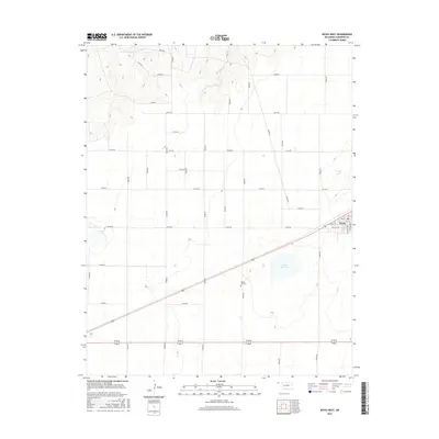
2016 Map of Keyes West
USGS Topo · Published 2016About this map
Keyes occupies the eastern edge of this high plains landscape, situated along a diagonal transit corridor in the Oklahoma Panhandle. The town’s residential grid is clearly defined by streets such as Monroe Ave and Ramsey Blvd, while the surrounding Cimarron County terrain is marked by a network of sectional roads and several natural depressions. To the southwest of the town center, the Willow Bar Cem stands near the ephemeral waters of Willow Bar Lake, providing a specific point of interest for local historians and genealogists. Further west, the landscape features isolated water bodies like Castor Lake and Slimp Lake, illustrating the drainage patterns of this semi-arid region. The map captures a moment in the mid-2010s where modern rural infrastructure and established local landmarks intersect in this corner of the state.
Find a feature on this map
36 named features on this map. Tap any name to fly to it.
Don’t see what you’re looking for? This feature index may not catch every label — zoom into the map to look around manually.
Map Details
Editions of this 2016 Keyes West Map
This is the sole edition of this map. No revisions or reprints were ever made.
Other maps of this area

1954 · Dalhart
USGS Topo · 1:250,000

1958 · Dalhart
USGS Topo · 1:250,000

1962 · Dalhart
USGS Topo · 1:250,000

1971 · Keyes SW
USGS Topo · 1:24,000

1971 · Keyes West
USGS Topo · 1:24,000

1971 · Keyes NW
USGS Topo · 1:24,000

1971 · Keyes NE
USGS Topo · 1:24,000

1971 · Sampsel Lake
USGS Topo · 1:24,000

1971 · Conrad NW
USGS Topo · 1:24,000

1971 · Keyes East
USGS Topo · 1:24,000