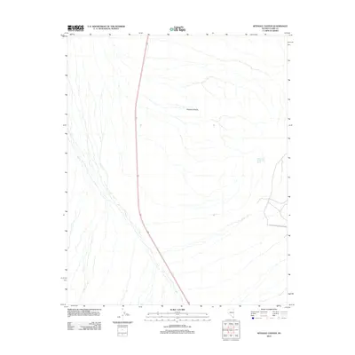
2012 Map of Keyhole Canyon
USGS Topo · Published 2012About this map
Keyhole Canyon marks a distinctive drainage path through the desert landscape of Clark County, leading toward the southeastern boundary of the Lake Mead National Rec Area. The terrain is characterized by a network of dry washes and ephemeral stream channels that converge as they move east. High-speed travel through this arid corridor is facilitated by highway 95, which runs north to south along the western portion of the sheet. Water sources in this environment are rare and critical, noted by isolated features such as Water Plug Number Two Spring. The map documents the interface between managed recreational lands and the open desert, where the natural topography dictates the limited patterns of modern transit and land use.
Find a feature on this map
4 named features on this map. Tap any name to fly to it.
Don’t see what you’re looking for? This feature index may not catch every label — zoom into the map to look around manually.
Map Details
Editions of this 2012 Keyhole Canyon Map
This is the sole edition of this map. No revisions or reprints were ever made.
Other maps of this area

1886 · Camp Mohave
USGS Topo · 1:250,000

1892 · Camp Mohave
USGS Topo · 1:250,000

1910 · Ivanpah
USGS Topo · 1:250,000

1912 · Ivanpah
USGS Topo · 1:250,000

1926 · Nelson
USGS Topo · 1:96,000

1942 · Camp Mohave
USGS Topo · 1:250,000

1942 · Ivanpah
USGS Topo · 1:250,000

1947 · Kingman
USGS Topo · 1:250,000

1948 · Kingman
USGS Topo · 1:250,000

1954 · Kingman
USGS Topo · 1:250,000