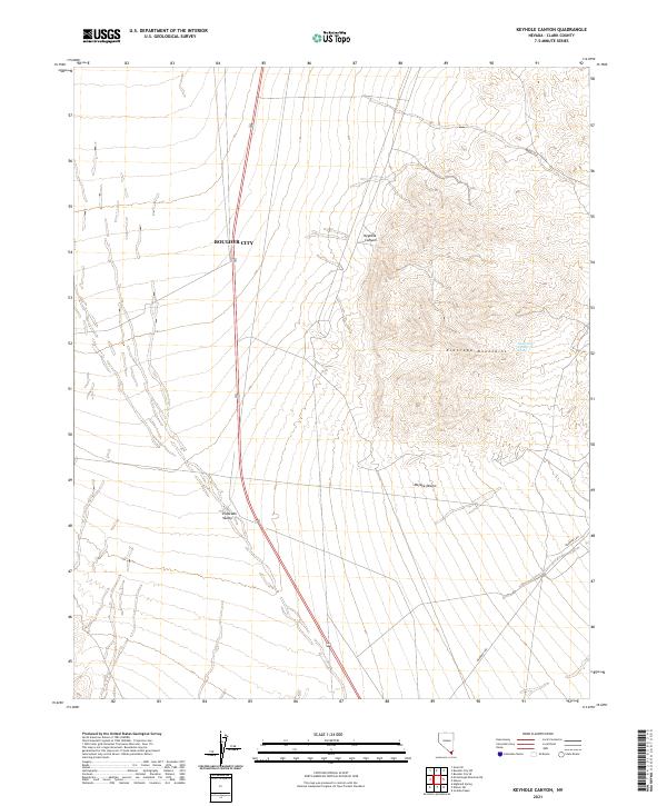
2021 Map of Keyhole Canyon
USGS Topo · Published 2021About this map
Boulder City serves as the northern anchor for this study of the arid transition where the Eldorado Mountains descend into the wide expanse of the Eldorado Valley. The landscape is defined by the dramatic relief of the mountains, which contain the eponymous Keyhole Canyon and reach toward the Mojave Desert to the south. This modern survey tracks the sophisticated management of the desert environment, noting isolated water sources like Water Plug Number Two Spring tucked within the mountain folds.
Find a feature on this map
17 named features on this map. Tap any name to fly to it.
Don’t see what you’re looking for? This feature index may not catch every label — zoom into the map to look around manually.
Map Details
Editions of this 2021 Keyhole Canyon Map
This is the sole edition of this map. No revisions or reprints were ever made.
Other maps of this area

1886 · Camp Mohave
USGS Topo · 1:250,000

1892 · Camp Mohave
USGS Topo · 1:250,000

1910 · Ivanpah
USGS Topo · 1:250,000

1912 · Ivanpah
USGS Topo · 1:250,000

1926 · Nelson
USGS Topo · 1:96,000

1942 · Camp Mohave
USGS Topo · 1:250,000

1942 · Ivanpah
USGS Topo · 1:250,000

1947 · Kingman
USGS Topo · 1:250,000

1948 · Kingman
USGS Topo · 1:250,000

1954 · Kingman
USGS Topo · 1:250,000