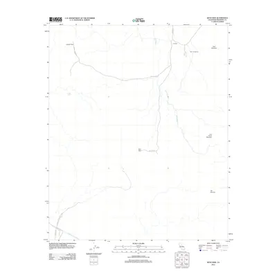
2012 Map of Keys View
USGS Topo · Published 2012About this map
Keys View commands a prominent position in this high-desert landscape within Joshua Tree National Park. The survey illustrates a terrain defined by significant mountain peaks and vast drainage systems, most notably Ryan Mountain, Lost Horse Mountain, and the expansive Juniper Flats. Human infrastructure is light but critical, including the Colorado River Aqueduct traversing the southern edge and a network of primitive routes like Juniper Flats Rd and Stubby Springs Trl. The presence of Ryan Campground and Cap Rock highlights the area's role as a destination for outdoor activity. Geologic features such as The Blue Cut and seasonal water sources like Stubbe Spring provide specific points of interest for those studying the natural history and hydrology of the Little San Bernardino Mountains region.
Find a feature on this map
15 named features on this map. Tap any name to fly to it.
Don’t see what you’re looking for? This feature index may not catch every label — zoom into the map to look around manually.
Map Details
Editions of this 2012 Keys View Map
This is the sole edition of this map. No revisions or reprints were ever made.
Other maps of this area

1941 · Edom
USGS Topo · 1:62,500

1944 · Edom
USGS Topo · 1:62,500

1944 · Pinyon Well
USGS Topo · 1:62,500

1947 · Santa Ana
USGS Topo · 1:250,000

1949 · Santa Ana
USGS Topo · 1:250,000

1953 · San Bernardino
USGS Topo · 1:250,000

1955 · Twentynine Palms
USGS Topo · 1:62,500

1955 · Joshua Tree
USGS Topo · 1:62,500

1956 · San Bernardino
USGS Topo · 1:250,000

1956 · Santa Ana
USGS Topo · 1:250,000