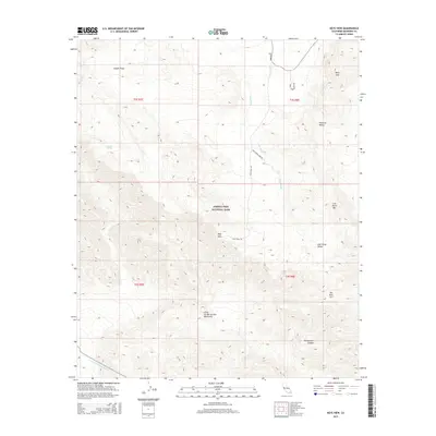
2015 Map of Keys View
USGS Topo · Published 2015About this map
Joshua Tree National Park dominates this desert landscape, where the high-altitude vantage point of Keys View offers a sweeping perspective over the transition between the Mojave and Colorado Deserts. To the north, the terrain is defined by granitic outcrops and high valleys like Juniper Flats and Pleasant Valley, framed by peaks such as Ryan Mtn. These basins illustrate the classic drainage patterns of the region, with Quail Wash carrying seasonal runoff through the arid floor.
Find a feature on this map
21 named features on this map. Tap any name to fly to it.
Don’t see what you’re looking for? This feature index may not catch every label — zoom into the map to look around manually.
Map Details
Editions of this 2015 Keys View Map
This is the sole edition of this map. No revisions or reprints were ever made.
Other maps of this area

1941 · Edom
USGS Topo · 1:62,500

1944 · Edom
USGS Topo · 1:62,500

1944 · Pinyon Well
USGS Topo · 1:62,500

1947 · Santa Ana
USGS Topo · 1:250,000

1949 · Santa Ana
USGS Topo · 1:250,000

1953 · San Bernardino
USGS Topo · 1:250,000

1955 · Twentynine Palms
USGS Topo · 1:62,500

1955 · Joshua Tree
USGS Topo · 1:62,500

1956 · San Bernardino
USGS Topo · 1:250,000

1956 · Santa Ana
USGS Topo · 1:250,000