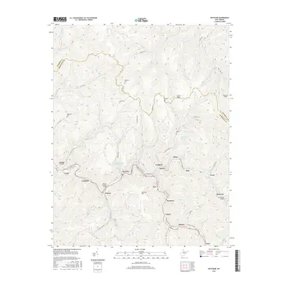
2016 Map of Keystone
USGS Topo · Published 2016About this map
Keystone and Northfork anchor a string of industrial settlements along the narrow valley of Elkhorn Cr in this McDowell County survey. The landscape is defined by the heavy footprint of the region's coal legacy, evidenced by the Algoma Coal Impoundment and the Keystone Refuse Impoundment tucked into the steep ravines. High above the valley floor, ridges like Shawnee Mtn and Indian Ridge separate these bustling corridors from the more remote drainage of Pinnacle Cr to the north.
Find a feature on this map
86 named features on this map. Tap any name to fly to it.
Don’t see what you’re looking for? This feature index may not catch every label — zoom into the map to look around manually.
Map Details
Editions of this 2016 Keystone Map
This is the sole edition of this map. No revisions or reprints were ever made.
Other maps of this area

1887 · Pocahontas
USGS Topo · 1:125,000

1891 · Tazewell
USGS Topo · 1:125,000

1891 · Pocahontas
USGS Topo · 1:125,000

1891 · Oceana
USGS Topo · 1:125,000

1891 · Raleigh
USGS Topo · 1:125,000

1893 · Oceana
USGS Topo · 1:125,000

1894 · Pocahontas
USGS Topo · 1:125,000

1895 · Tazewell
USGS Topo · 1:125,000

1895 · Pocahontas
USGS Topo · 1:125,000

1897 · Tazewell
USGS Topo · 1:125,000