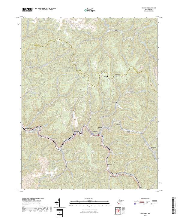
2023 Map of Keystone
USGS Topo · Published 2023About this map
Elkhorn Creek serves as the central artery for this densely settled section of the West Virginia coalfields, where a string of historic company towns and municipalities line the valley floor. The geography of the region is defined by these narrow bottomlands and the steep rise of Indian Ridge and Shawnee Mountain. Settlements like Keystone, Northfork, Landgraff, and Eckman are tightly packed between the hillsides, following the winding path of the water and roads such as W Main St and E McDowell St.
Find a feature on this map
87 named features on this map. Tap any name to fly to it.
Don’t see what you’re looking for? This feature index may not catch every label — zoom into the map to look around manually.
Map Details
Editions of this 2023 Keystone Map
This is the sole edition of this map. No revisions or reprints were ever made.
Other maps of this area

1887 · Pocahontas
USGS Topo · 1:125,000

1891 · Tazewell
USGS Topo · 1:125,000

1891 · Pocahontas
USGS Topo · 1:125,000

1891 · Oceana
USGS Topo · 1:125,000

1891 · Raleigh
USGS Topo · 1:125,000

1893 · Oceana
USGS Topo · 1:125,000

1894 · Pocahontas
USGS Topo · 1:125,000

1895 · Tazewell
USGS Topo · 1:125,000

1895 · Pocahontas
USGS Topo · 1:125,000

1897 · Tazewell
USGS Topo · 1:125,000