Loading...
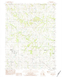
Loading map...1984 Map of Kidder
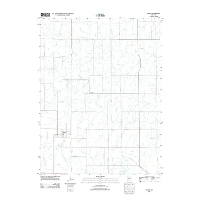
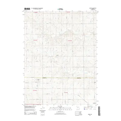
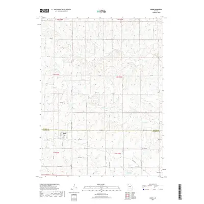
USGS Topo · Published 1984About this map
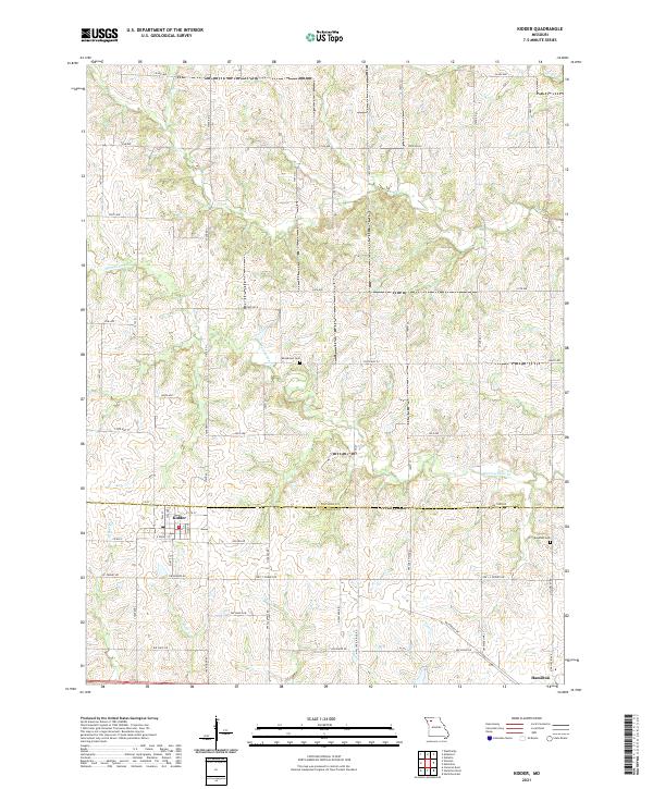
Kidder and Hamilton anchor this survey of the Missouri countryside during the early 1980s. The landscape is defined by the east-west corridor of the Burlington Northern railroad, which parallels the southern boundary between Daviess County and Caldwell County. The terrain is deeply etched by a network of drainage systems, including the winding paths of Dog Creek, Marrowbone Creek, and East Shoal Creek.
Find a feature on this map
19 named features on this map. Tap any name to fly to it.
Don’t see what you’re looking for? This feature index may not catch every label — zoom into the map to look around manually.
Map Details
Date Portrayed1984
Date Published1984
PublisherU.S. Geological Survey
Map TypeTopographic
Scale1:24,000
Physical Dimensions22 x 26.9 inches
Editions of this 1984 Kidder Map
This is the sole edition of this map. No revisions or reprints were ever made.
Historical Maps of Hamilton Through Time
5 maps found
Featured Locations
Source Details
SourceU.S. Geological Survey
CopyrightPublic Domain