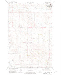
1974 Map of Killdeer
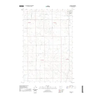
USGS Topo · Published 1976About this map
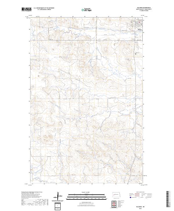
Killdeer and the surrounding high plains of Dunn County are defined by a network of small agricultural settlements and the winding course of the Knife River. This mid-1970s compilation captures a rural landscape where the Burlington Northern railroad links towns like Dunn Center, Werner, and Halliday. To the northwest, the Killdeer Mountains rise above the plains, providing a stark geographic contrast to the wetlands of the Lake Ilo National Wildlife Refuge. The map details a transition in land use, from the managed conservation areas at the Killdeer Mountain State Game Management Area to the edges of the Fort Berthold Indian Reservation along the northern border. Local history is evidenced through numerous family-named landmarks and water features like Russian Spring Creek and Schaffner Creek, while the presence of industrial infrastructure is noted by several Gravel Pits and cross-county pipelines.
Find a feature on this map
67 named features on this map. Tap any name to fly to it.
Don’t see what you’re looking for? This feature index may not catch every label — zoom into the map to look around manually.
Map Details
Editions of this 1974 Killdeer Map
This is the sole edition of this map. No revisions or reprints were ever made.
Historical Maps of Killdeer Through Time
7 maps found