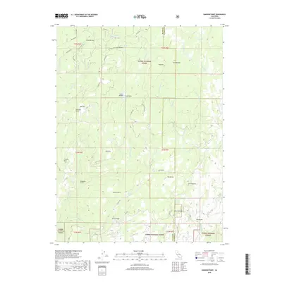
2018 Map of Kimshew Point
USGS Topo · Published 2018About this map
Lassen National Forest and Plumas National Forest converge across this landscape, where the high elevation terrain of the Sierra Nevada is marked by significant points of interest for historical land use. Kimshew Point stands as a central topographic landmark, overlooking a network of drainages including Big Kimshew Cr and the steep Breakneck Canyon. The map reveals the area's extraction history through the Snow Mine and the presence of Granite Spring, while the proliferation of named meadows like Millers Meadow and Lynch Meadows indicates a legacy of mountain grazing and early seasonal settlements.
Find a feature on this map
50 named features on this map. Tap any name to fly to it.
Don’t see what you’re looking for? This feature index may not catch every label — zoom into the map to look around manually.
Map Details
Editions of this 2018 Kimshew Point Map
This is the sole edition of this map. No revisions or reprints were ever made.
Other maps of this area

1886 · Lassen Peak
USGS Topo · 1:250,000

1888 · Bidwell Bar
USGS Topo · 1:125,000

1891 · Bidwell Bar
USGS Topo · 1:125,000

1891 · Chico
USGS Topo · 1:125,000

1892 · Lassen Peak
USGS Topo · 1:250,000

1893 · Chico
USGS Topo · 1:125,000

1893 · Bidwell Bar
USGS Topo · 1:125,000

1894 · Lassen Peak
USGS Topo · 1:250,000

1895 · Bidwell Bar
USGS Topo · 1:125,000

1895 · Chico
USGS Topo · 1:125,000