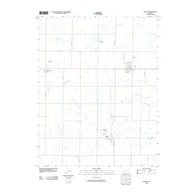
2009 Map of Kincaid
USGS Topo · Published 2009About this map
Kincaid serves as the primary hub of this eastern Kansas landscape, characterized by a structured grid of rural roads and the headwaters of the Osage River system. The town is situated at the junction of Walnut St and East St, supported by smaller settlements like Mildred to the south and Lone Elm to the west. This 2009 survey highlights a region deeply tied to its water sources, with the North Fork Little Osage River and Middle Fork Little Osage River snaking through the prairie.
Find a feature on this map
36 named features on this map. Tap any name to fly to it.
Don’t see what you’re looking for? This feature index may not catch every label — zoom into the map to look around manually.
Map Details
Editions of this 2009 Kincaid Map
This is the sole edition of this map. No revisions or reprints were ever made.
Other maps of this area

1885 · Garnett
USGS Topo · 1:125,000

1886 · Iola
USGS Topo · 1:125,000

1893 · Iola
USGS Topo · 1:125,000

1894 · Garnett
USGS Topo · 1:125,000

1904 · Iola
USGS Topo · 1:125,000

1947 · Lawrence
USGS Topo · 1:250,000

1947 · Joplin
USGS Topo · 1:250,000

1949 · Joplin
USGS Topo · 1:250,000

1950 · Lawrence
USGS Topo · 1:250,000

1954 · Joplin
USGS Topo · 1:250,000