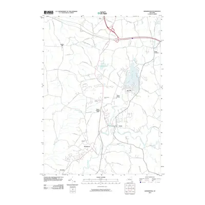
2010 Map of Kinderhook
USGS Topo · Published 2010About this map
Kinderhook and the village of Valatie anchor this 2010 topographic record of the Upper Hudson Valley, where the confluence of Kinderhook Creek and Valatie Kill historically powered local development. The landscape is notably defined by its agricultural heritage, evidenced by numerous named orchards and farms such as Samascott Orchard, GoldenHarvest Farms, and Swartz Orchard. These family-named landholdings highlight the region's enduring fruit-growing industry.
Find a feature on this map
77 named features on this map. Tap any name to fly to it.
Don’t see what you’re looking for? This feature index may not catch every label — zoom into the map to look around manually.
Map Details
Editions of this 2010 Kinderhook Map
This is the sole edition of this map. No revisions or reprints were ever made.
Other maps of this area

1893 · Troy
USGS Topo · 1:62,500

1893 · Coxsackie
USGS Topo · 1:62,500

1893 · Albany
USGS Topo · 1:62,500

1894 · Coxsackie
USGS Topo · 1:62,500

1895 · Troy
USGS Topo · 1:62,500

1895 · Albany
USGS Topo · 1:62,500

1898 · Albany
USGS Topo · 1:62,500

1898 · Troy
USGS Topo · 1:62,500

1903 · Kinderhook
USGS Topo · 1:62,500

1925 · Troy
USGS Topo · 1:48,000