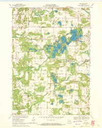
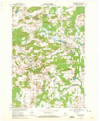
1969 Map of King
USGS Topo · Published 1972About this map
Rainbow Lake, Long Lake, and Taylor Lake form the center of a complex glacial landscape in this 1969 survey of central Wisconsin. The settlement of King serves as a focal point near the interconnected waters of McCrossen Lake and Columbia Lake, where Government Island and Onaway Island stand out as prominent landforms. The terrain is defined by its numerous kettle lakes and the winding course of the Waupaca River to the north and the Crystal River to the east.
Find a feature on this map
71 named features on this map. Tap any name to fly to it.
Don’t see what you’re looking for? This feature index may not catch every label — zoom into the map to look around manually.
Map Details
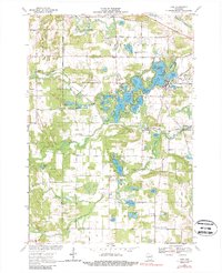
Editions of this 1969 King Map
2 editions found
Other maps of this area

1955 · Green Bay
USGS Topo · 1:250,000

1957 · Amherst
USGS Topo · 1:48,000

1957 · Waupaca
USGS Topo · 1:48,000

1959 · Wautoma
USGS Topo · 1:48,000

1961 · Redgranite
USGS Topo · 1:62,500

1961 · Saxeville
USGS Topo · 1:24,000

1961 · Wild Rose
USGS Topo · 1:24,000
1968 · Wautoma NE
USGS Topo · 1:24,000
1969 · Waupaca
USGS Topo · 1:24,000
1969 · Ogdensburg
USGS Topo · 1:24,000