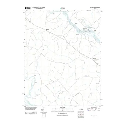
2010 Map of King William
USGS Topo · Published 2010About this map
The Mattaponi River meanders across this landscape, defining the character of Tidewater Virginia as it flows past historic riverfront sites like Roanes Wharf and Whitebank. The river serves as a central artery for the region, supporting the community of Walkerton, where the Walkerton Bridge and Walkerton Landing facilitate local transport. Evidence of early industry and infrastructure remains visible at the Walkerton Mill Dam and the Piping Tree Ferry crossing.
Find a feature on this map
69 named features on this map. Tap any name to fly to it.
Don’t see what you’re looking for? This feature index may not catch every label — zoom into the map to look around manually.
Map Details
Editions of this 2010 King William Map
This is the sole edition of this map. No revisions or reprints were ever made.
Other maps of this area
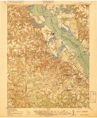
1918 · Tappahannock
USGS Topo · 1:62,500
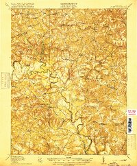
1918 · Aylett
USGS Topo · 1:62,500
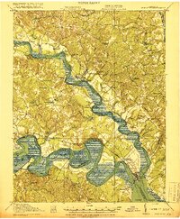
1919 · New Kent
USGS Topo · 1:62,500
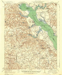
1919 · Tappahannock
USGS Topo · 1:62,500
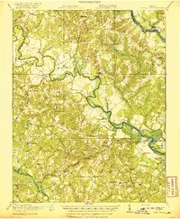
1920 · King William
USGS Topo · 1:62,500
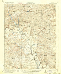
1933 · Aylett
USGS Topo · 1:62,500

1943 · Richmond
USGS Topo · 1:250,000
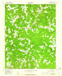
1944 · Howertons
USGS Topo · 1:24,000
1945 · Howertons
USGS Topo · 1:31,680
1949 · King William
USGS Topo · 1:24,000