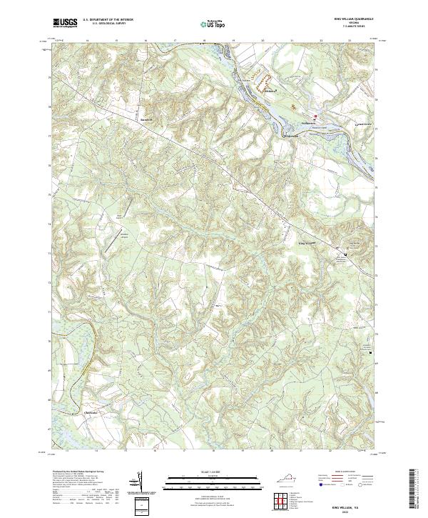
2022 Map of King William
USGS Topo · Published 2022About this map
The King William County Courthouse stands as the civic anchor in this Virginia landscape, situated in the town of King William. The geography is defined by the winding paths of two major rivers, with the Mattaponi River forming the northern boundary and the Pamunkey River to the southwest. Between these waterways, a network of country roads connects historic settlements like Walkerton, Whitebank, and Rumford. The map reveals a rural pattern of land use where small community centers and air strips such as Hunt Airport and Brooklyn Airport are interspersed among numerous creeks and swamps, including Cuoco Swamp and Dawson Swamp. Genealogists will find particular value in the documentation of local burial grounds, specifically the Saint James Presbyterian Church Cem and Jerusalem Christian Church Cem, which mark the centers of long-standing parish life in the county.
Find a feature on this map
88 named features on this map. Tap any name to fly to it.
Don’t see what you’re looking for? This feature index may not catch every label — zoom into the map to look around manually.
Map Details
Editions of this 2022 King William Map
This is the sole edition of this map. No revisions or reprints were ever made.
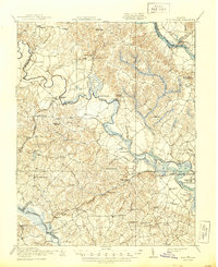
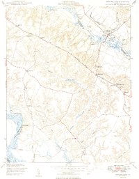
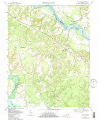
Historical Maps of Whitehall Through Time
4 maps found