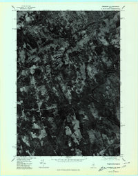
1975 Map of Kingsbury SE
USGS Topo · Published 1980About this map
Huff Corner, Hunt Corner, and Hardin Corner define the rural crossroads layout of this mid-1970s orthophoto. This specialized imagery, captured in late October by the Geological Survey, reveals a landscape of wooded ridges and cleared agricultural plots in a transition between late autumn and winter. The orthophotograph format allows for a precise view of field boundaries and woodlots surrounding the peaks of Round Top and the prominently labeled Mountain. Unlike traditional line maps, this view provides a direct visual representation of the land use patterns and isolated farmsteads that characterized this part of Piscataquis County during the era.
Find a feature on this map
5 named features on this map. Tap any name to fly to it.
Don’t see what you’re looking for? This feature index may not catch every label — zoom into the map to look around manually.
Map Details
Editions of this 1975 Kingsbury SE Map
This is the sole edition of this map. No revisions or reprints were ever made.
Other maps of this area

1913 · Skowhegan
USGS Topo · 1:62,500

1930 · Pittsfield
USGS Topo · 1:48,000

1932 · Pittsfield
USGS Topo · 1:62,500

1933 · Pittsfield
USGS Topo · 1:62,500

1933 · Guilford
USGS Topo · 1:62,500

1937 · Guilford
USGS Topo · 1:62,500

1948 · Bangor
USGS Topo · 1:250,000

1948 · Kingsbury
USGS Topo · 1:62,500

1950 · Kingsbury
USGS Topo · 1:62,500

1954 · Millinocket
USGS Topo · 1:250,000