Loading...
Loading map...2022 Map of Kingston
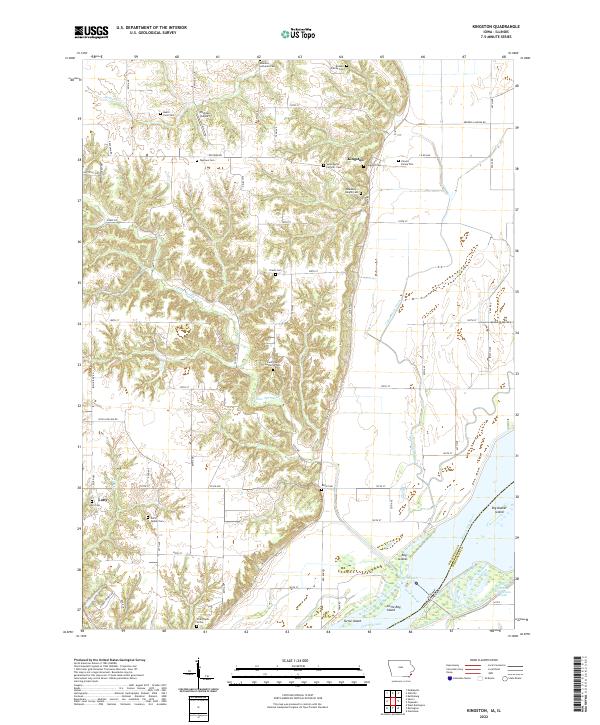
USGS Topo · Published 2022About this map
Kingston sits on the bluffs overlooking the wide floodplains of the Mississippi River, where the landscape shifts from the rolling upland divides of Des Moines County to the intricate network of islands and sloughs along the Illinois border. This 2022 survey captures a rural environment defined by generations of land use, visible in the high density of small family burial grounds and churchyards such as the Driskell Family Cem, Hukill Farm Cem, and the Hinson Family Plot.
Find a feature on this map
77 named features on this map. Tap any name to fly to it.
Don’t see what you’re looking for? This feature index may not catch every label — zoom into the map to look around manually.
Map Details
Date Portrayed2022
Date Published2022
PublisherU.S. Geological Survey
Map TypeTopographic
Scale1:24000
Physical Dimensions24 x 29 inches
Editions of this 2022 Kingston Map
This is the sole edition of this map. No revisions or reprints were ever made.
Historical Maps of Kingston Through Time
Featured Locations
Source Details
SourceU.S. Geological Survey
CopyrightPublic Domain