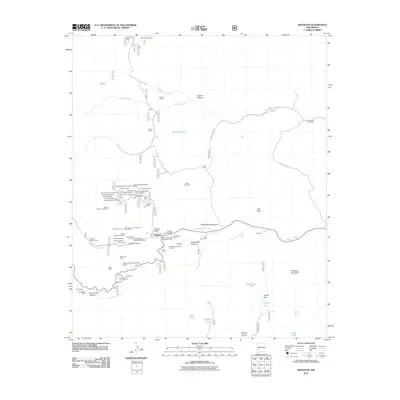
2011 Map of Kingston
USGS Topo · Published 2011About this map
Kingston and its surrounding canyonlands appear here at a point where its deep mining history remains etched into the landscape. This region of the Gila National Forest is defined by a dense concentration of mineral claims, particularly within the Superior-North Kingston District. The map reveals a complex network of historic workings, from the Ingersoll Mine in the north to the Lady Franklin Mine and Silver King Mine closer to the settlement. These labels represent the silver-mining boom that once drove this remote mountain community.
Find a feature on this map
71 named features on this map. Tap any name to fly to it.
Don’t see what you’re looking for? This feature index may not catch every label — zoom into the map to look around manually.
Map Details
Editions of this 2011 Kingston Map
This is the sole edition of this map. No revisions or reprints were ever made.
Other maps of this area
1935 · Hillsboro
USGS Topo · 1:48,000
1940 · Hillsboro
USGS Topo · 1:62,500
1954 · Tularosa
USGS Topo · 1:250,000
1955 · Las Cruces
USGS Topo · 1:250,000
1956 · San Lorenzo
USGS Topo · 1:62,500
1958 · Las Cruces
USGS Topo · 1:250,000
1958 · Tularosa
USGS Topo · 1:250,000
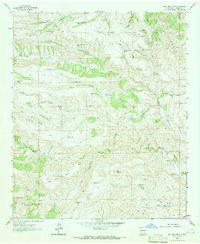
1963 · Bell Mountain
USGS Topo · 1:24,000
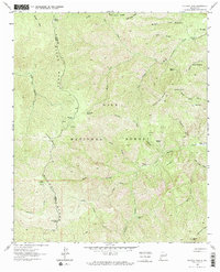
1963 · Victoria Park
USGS Topo · 1:24,000
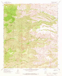
1963 · Apache Peak
USGS Topo · 1:24,000