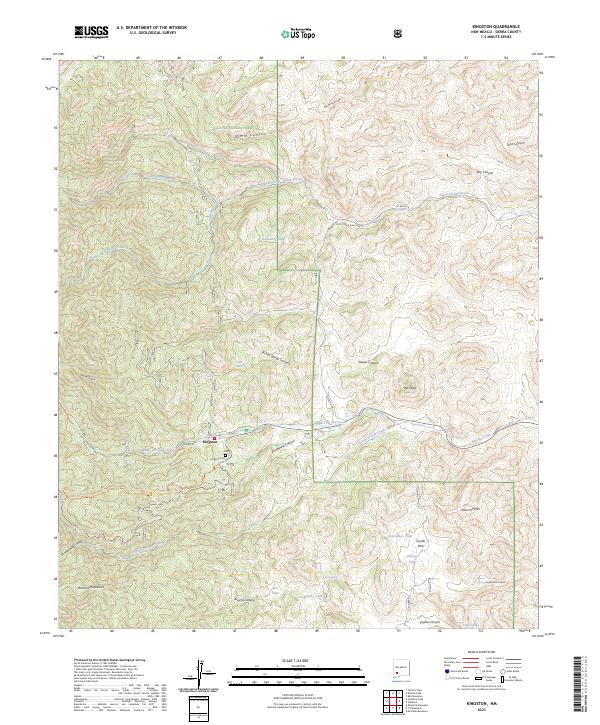
2023 Map of Kingston
USGS Topo · Published 2023About this map
Kingston sits at the heart of this landscape, a settlement deeply integrated into the canyons of the Mimbres Mountains. The town’s history is etched into the terrain along Main St, while the nearby Kingston Cem serves as a vital touchstone for genealogists and local historians. This region is defined by its complex drainage systems, including Middle Percha Creek and South Percha Creek, which have carved deep canyons like Dumm Canyon and Pickett Spring Canyon. To the north, the terrain transitions into protected wilderness within the Aldo Leopold Wilderness and the Gila National Forest.
Find a feature on this map
45 named features on this map. Tap any name to fly to it.
Don’t see what you’re looking for? This feature index may not catch every label — zoom into the map to look around manually.
Map Details
Editions of this 2023 Kingston Map
This is the sole edition of this map. No revisions or reprints were ever made.
Other maps of this area

1935 · Hillsboro
USGS Topo · 1:48,000

1940 · Hillsboro
USGS Topo · 1:62,500

1954 · Tularosa
USGS Topo · 1:250,000

1955 · Las Cruces
USGS Topo · 1:250,000

1956 · San Lorenzo
USGS Topo · 1:62,500

1958 · Las Cruces
USGS Topo · 1:250,000

1958 · Tularosa
USGS Topo · 1:250,000

1963 · Bell Mountain
USGS Topo · 1:24,000

1963 · Victoria Park
USGS Topo · 1:24,000

1963 · Apache Peak
USGS Topo · 1:24,000