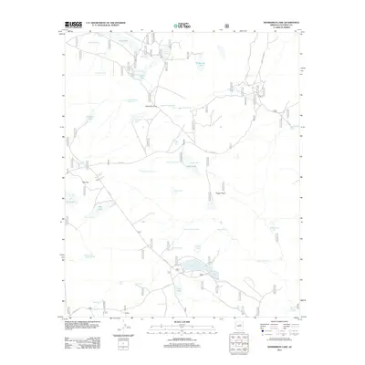
2011 Map of Kinnikinick Lake
USGS Topo · Published 2011About this map
Yeager Lake and the drainage of Yeager Draw characterize this high-elevation plateau region of Coconino County. The landscape is defined by an extensive system of water management features, including Anderson Tank Number One, Replacement Tank, and High N Dry Tank, which reflect the region's reliance on captured surface water. These tanks are connected by a network of forest roads such as FS RD 125 and FS RD 82. Significant natural water bodies like Boot Lake, Long Lake, and McDermit Lake sit alongside topographic landmarks like Pine Hill. The prevalence of named springs, including Anderson Spring and Burro Spring, highlights the critical importance of reliable water sources in this arid landscape during the early 21st century.
Find a feature on this map
50 named features on this map. Tap any name to fly to it.
Don’t see what you’re looking for? This feature index may not catch every label — zoom into the map to look around manually.
Map Details
Editions of this 2011 Kinnikinick Lake Map
This is the sole edition of this map. No revisions or reprints were ever made.
Other maps of this area

1886 · San Francisco Mtns
USGS Topo · 1:250,000

1887 · Verde
USGS Topo · 1:250,000

1891 · San Francisco Mtns
USGS Topo · 1:250,000

1892 · Verde
USGS Topo · 1:250,000

1894 · San Francisco Mtns
USGS Topo · 1:250,000

1899 · San Francisco Mtns
USGS Topo · 1:250,000

1947 · Flagstaff
USGS Topo · 1:250,000

1954 · Flagstaff
USGS Topo · 1:250,000

1954 · Holbrook
USGS Topo · 1:250,000

1957 · Holbrook
USGS Topo · 1:250,000