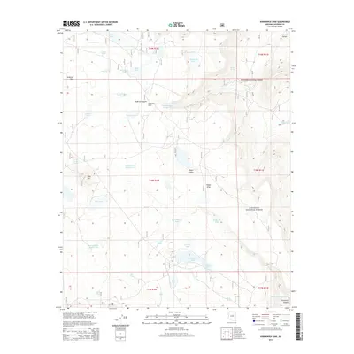
2014 Map of Kinnikinick Lake
USGS Topo · Published 2014About this map
Coconino National Forest defines the character of this high-altitude landscape, where the flat-topped Anderson Mesa transitions into complex drainage systems like Anderson Canyon and Yaeger Canyon. This 2014 survey captures a vital water management network on the Colorado Plateau, where natural basins like Kinnikinick Lake, Morton Lake, and Mud Lake are supplemented by dozens of named catchments such as Anderson Tank Number One and Gonzalo Tank Number Two. These features, alongside Kinnikinick Spring and Burro Spring, reveal the essential role of water in this arid forested environment. The map provides a detailed view of the terrain around Pine Hill and Cow Hill, documenting the roads and tracks that navigate the mesa and the deep incisions of Kinnikinick Canyon as it cuts through the plateau.
Find a feature on this map
46 named features on this map. Tap any name to fly to it.
Don’t see what you’re looking for? This feature index may not catch every label — zoom into the map to look around manually.
Map Details
Editions of this 2014 Kinnikinick Lake Map
This is the sole edition of this map. No revisions or reprints were ever made.
Other maps of this area

1886 · San Francisco Mtns
USGS Topo · 1:250,000

1887 · Verde
USGS Topo · 1:250,000

1891 · San Francisco Mtns
USGS Topo · 1:250,000

1892 · Verde
USGS Topo · 1:250,000

1894 · San Francisco Mtns
USGS Topo · 1:250,000

1899 · San Francisco Mtns
USGS Topo · 1:250,000

1947 · Flagstaff
USGS Topo · 1:250,000

1954 · Flagstaff
USGS Topo · 1:250,000

1954 · Holbrook
USGS Topo · 1:250,000

1957 · Holbrook
USGS Topo · 1:250,000