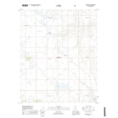
2018 Map of Kinnikinick Lake
USGS Topo · Published 2018About this map
Anderson Mesa dominates this high-altitude landscape within the Coconino National Forest, characterized by an extensive system of natural lakes and livestock tanks vital to the region's arid ecology. The terrain is marked by significant hydrological features like Morton Lake, Long Lake, and Boot Lake, which are complemented by man-made improvements such as the Replacement Tank and Dead Horse Tank. These water sources, along with Kinnikinick Spring and Burro Spring, define the historical utility of the land for ranching and wildlife management.
Find a feature on this map
46 named features on this map. Tap any name to fly to it.
Don’t see what you’re looking for? This feature index may not catch every label — zoom into the map to look around manually.
Map Details
Editions of this 2018 Kinnikinick Lake Map
This is the sole edition of this map. No revisions or reprints were ever made.
Other maps of this area

1886 · San Francisco Mtns
USGS Topo · 1:250,000

1887 · Verde
USGS Topo · 1:250,000

1891 · San Francisco Mtns
USGS Topo · 1:250,000

1892 · Verde
USGS Topo · 1:250,000

1894 · San Francisco Mtns
USGS Topo · 1:250,000

1899 · San Francisco Mtns
USGS Topo · 1:250,000

1947 · Flagstaff
USGS Topo · 1:250,000

1954 · Flagstaff
USGS Topo · 1:250,000

1954 · Holbrook
USGS Topo · 1:250,000

1957 · Holbrook
USGS Topo · 1:250,000