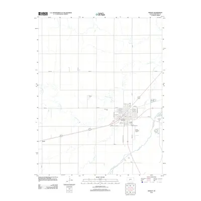
2012 Map of Kinsley
USGS Topo · Published 2012About this map
The Arkansas River winds through the southeastern corner of this Edwards County landscape, defining the local drainage patterns alongside Coon Cr and Little Coon Cr. In the early 21st century, the area around the county seat shows a structured grid of streets, including Winchester Ave and Colony Ave, which serve as the primary conduits for local traffic. The township's history is preserved at the Old Kinsley Cem and Hillside Cem, while the Saint Nicholas Cem stands near the southern edge of the settled area. To the west, the settlement of Ardell marks a distinct point in the rural terrain. The presence of the Edwards County Fairgrounds and the Kinsley Municipal Airport highlights the region's role as a civic and transportation hub for the surrounding agricultural community.
Find a feature on this map
43 named features on this map. Tap any name to fly to it.
Don’t see what you’re looking for? This feature index may not catch every label — zoom into the map to look around manually.
Map Details
Editions of this 2012 Kinsley Map
This is the sole edition of this map. No revisions or reprints were ever made.
Other maps of this area

1889 · Larned
USGS Topo · 1:125,000

1889 · Kinsley
USGS Topo · 1:125,000

1891 · Larned
USGS Topo · 1:125,000

1892 · Ness
USGS Topo · 1:125,000

1892 · Kinsley
USGS Topo · 1:125,000

1892 · Spearville
USGS Topo · 1:125,000

1894 · Spearville
USGS Topo · 1:125,000

1894 · Kinsley
USGS Topo · 1:125,000

1894 · Ness
USGS Topo · 1:125,000

1955 · Great Bend
USGS Topo · 1:250,000