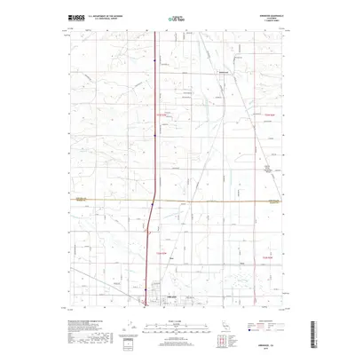
2018 Map of Kirkwood
USGS Topo · Published 2018About this map
Agricultural life in the Central Valley is defined by a complex network of waterways crossing the border between Tehama and Glenn counties. The landscape is dominated by engineering efforts to manage water for irrigation, including the prominent Tehama Colusa Canal, the Lemon Home Colony Canal, and the Stony Cr Irrigation Canal. These man-made channels intersect natural drainages such as Stony Creek and Rice Cr. Small community centers like Kirkwood and Wyo serve as focal points for the surrounding rural sections. Near the northern edge, the Kirkwood Cem offers a site of genealogical interest, while the southern margin reaches the northern outskirts of Orland. This 2018 survey illustrates how the grid of local roads, such as Old Corning Rd and Malton Switch Rd, provides access to the productive farm blocks that characterize this portion of Northern California.
Find a feature on this map
119 named features on this map. Tap any name to fly to it.
Don’t see what you’re looking for? This feature index may not catch every label — zoom into the map to look around manually.
Map Details
Editions of this 2018 Kirkwood Map
This is the sole edition of this map. No revisions or reprints were ever made.
Other maps of this area

1904 · Vina
USGS Topo · 1:62,500

1904 · Walker Creek
USGS Topo · 1:31,680

1906 · Willows
USGS Topo · 1:62,500

1914 · Kirkwood
USGS Topo · 1:31,680

1914 · Orland
USGS Topo · 1:31,680

1914 · Hamilton
USGS Topo · 1:31,680

1914 · McIntosh Landing
USGS Topo · 1:31,680

1919 · Fruto
USGS Topo · 1:62,500

1944 · Fruto
USGS Topo · 1:62,500

1944 · Flournoy
USGS Topo · 1:62,500