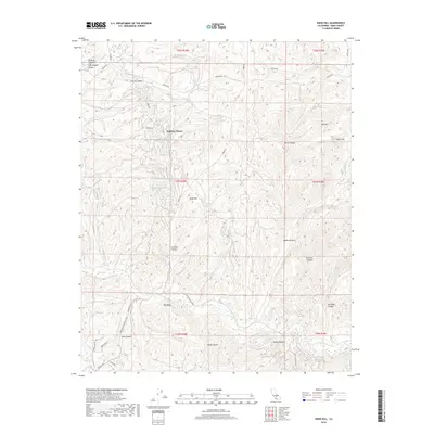
2018 Map of Knob Hill
USGS Topo · Published 2018About this map
Halfway House sits along the northern reaches of this Kern County terrain, where the foothills of the Sierra Nevada meet the eastern edge of the San Joaquin Valley. The landscape is defined by a dense network of drainage systems, including the westward-flowing Poso Creek and its many tributary canyons such as Borel Canyon, Adobe Canyon, and Kelly Canyon. This transition from the Central Valley floor into higher elevations is marked by prominent geological features like Mon Bluff and the sharp rise of Knob Hill.
Find a feature on this map
38 named features on this map. Tap any name to fly to it.
Don’t see what you’re looking for? This feature index may not catch every label — zoom into the map to look around manually.
Map Details
Editions of this 2018 Knob Hill Map
This is the sole edition of this map. No revisions or reprints were ever made.
Other maps of this area

1906 · Bakersfield
USGS Topo · 1:62,500

1910 · Buena Vista Lake
USGS Topo · 1:125,000

1912 · Buena Vista Lake
USGS Topo · 1:125,000

1914 · Caliente
USGS Topo · 1:125,000

1930 · Oildale
USGS Topo · 1:31,680

1931 · Deepwell Ranch
USGS Topo · 1:31,680

1932 · North of Oildale
USGS Topo · 1:31,680

1932 · Woody
USGS Topo · 1:62,500
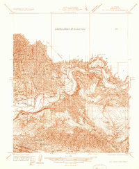
1933 · Oil Center
USGS Topo · 1:31,680

1935 · Woody
USGS Topo · 1:62,500