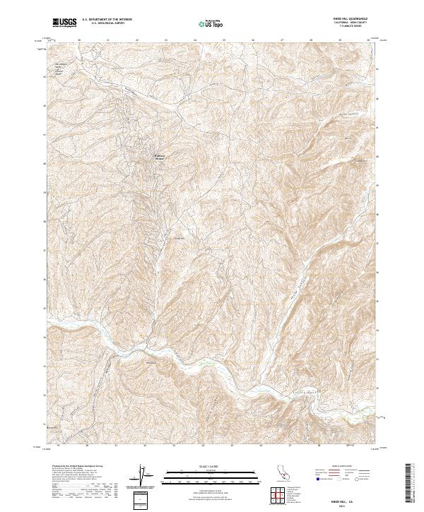
2021 Map of Knob Hill
USGS Topo · Published 2021About this map
The San Joaquin Valley meets the rising foothills of Kern County in this detailed landscape study. The terrain is defined by a series of dramatic geographic markers, including the sharp drop of Chalk Cliff and the prominent heights of Knob Hill and Brushy Hill. This region is a labyrinth of drainages such as Adobe Canyon and Borel Canyon, illustrating the complex watershed that feeds into the Poso Cr and the engineered Poso Canal.
Find a feature on this map
39 named features on this map. Tap any name to fly to it.
Don’t see what you’re looking for? This feature index may not catch every label — zoom into the map to look around manually.
Map Details
Editions of this 2021 Knob Hill Map
This is the sole edition of this map. No revisions or reprints were ever made.
Other maps of this area

1906 · Bakersfield
USGS Topo · 1:62,500

1910 · Buena Vista Lake
USGS Topo · 1:125,000

1912 · Buena Vista Lake
USGS Topo · 1:125,000

1914 · Caliente
USGS Topo · 1:125,000

1930 · Oildale
USGS Topo · 1:31,680

1931 · Deepwell Ranch
USGS Topo · 1:31,680

1932 · North of Oildale
USGS Topo · 1:31,680

1932 · Woody
USGS Topo · 1:62,500
1933 · Oil Center
USGS Topo · 1:31,680

1935 · Woody
USGS Topo · 1:62,500