Loading...
Loading map...2021 Map of Ko Vaya
USGS Topo · Published 2021About this map
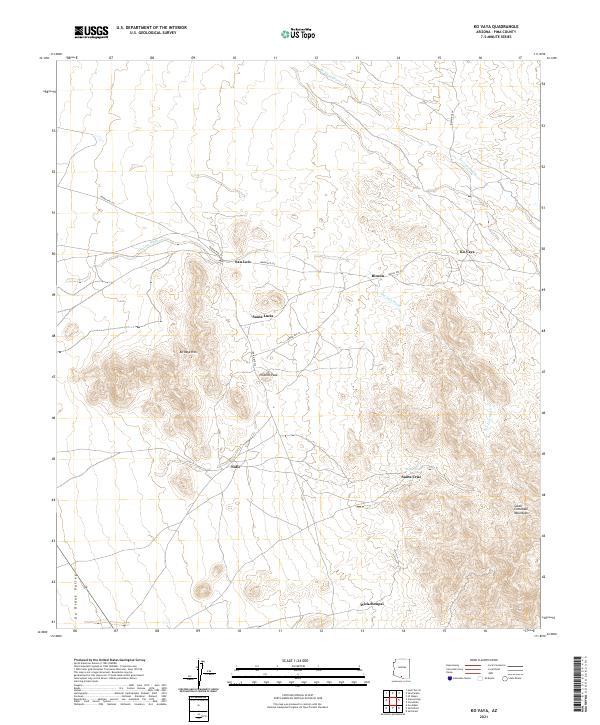
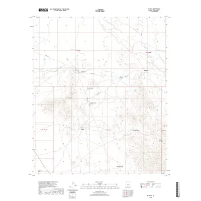
The Ko Vaya Hills and the southern slopes of the South Comobabi Mountains define this landscape within the Tohono O'odham Nation in Pima County. Small settlements are linked by a network of desert routes, including Indian Rte 34 and Indian Rte 232, which connect the communities of Ko Vaya, San Luis, and Nolic. The terrain is characterized by broad alluvial valleys such as the Gu Oidak Valley and intermittent drainage systems like Ko Vaya Wash and San Luis Wash.
Find a feature on this map
21 named features on this map. Tap any name to fly to it.
Don’t see what you’re looking for? This feature index may not catch every label — zoom into the map to look around manually.
Map Details
Date Portrayed2021
Date Published2021
PublisherU.S. Geological Survey
Map TypeTopographic
Scale1:24,000
Physical Dimensions24 x 29 inches
Editions of this 2021 Ko Vaya Map
This is the sole edition of this map. No revisions or reprints were ever made.
Historical Maps of Santa Lucia Through Time
5 maps found
Featured Locations
Source Details
SourceU.S. Geological Survey
CopyrightPublic Domain