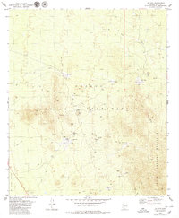
1979 Map of Ko Vaya
USGS Topo · Published 1979About this map
The Papago Indian Reservation landscape is defined by its seasonal hydrology and scattered rural settlements during the late 1970s. Arid plains give way to the Ko Vaya Hills and the South Comobabi Mountains, where small mining operations like the Picacho Mine and Steppe Mine suggest a history of local mineral extraction. Water management is central to life in the desert, as evidenced by numerous features such as the Old Nolic Well, several Water Tanks, and small Dams situated along the San Luis Wash and Ko Vaya Wash.
Find a feature on this map
35 named features on this map. Tap any name to fly to it.
Don’t see what you’re looking for? This feature index may not catch every label — zoom into the map to look around manually.
Map Details
Editions of this 1979 Ko Vaya Map
This is the sole edition of this map. No revisions or reprints were ever made.
Other maps of this area
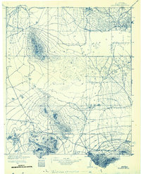
1934 · Silver Bell
USGS Topo · 1:125,000
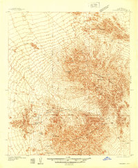
1937 · Comobabi
USGS Topo · 1:48,000
1941 · Sells
USGS Topo · 1:62,500
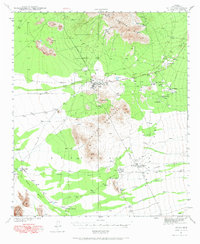
1942 · Comobabi
USGS Topo · 1:62,500
1943 · Sells
USGS Topo · 1:62,500
1943 · Fresnal
USGS Topo · 1:125,000

1953 · Ajo
USGS Topo · 1:250,000
1954 · Sonoyta
USGS Topo · 1:250,000

1956 · Nogales
USGS Topo · 1:250,000

1956 · Tucson
USGS Topo · 1:250,000