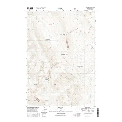
2014 Map of Koch Peak
USGS Topo · Published 2014About this map
The Madison Range dominates this high-altitude landscape within the Beaverhead National Forest and Gallatin National Forest. This 2014 survey captures a terrain defined by prominent summits such as Koch Peak, Nutters Cathedral Peak, and Shedhorn Mtn, revealing the complex alpine topography of Madison County. The drainage patterns are clearly visible, with Taylor Creek and Indian Creek carving through the mountain passes, while Taylor Falls and Snake Lake provide specific landmarks for those navigating the backcountry.
Find a feature on this map
30 named features on this map. Tap any name to fly to it.
Don’t see what you’re looking for? This feature index may not catch every label — zoom into the map to look around manually.
Map Details
Editions of this 2014 Koch Peak Map
This is the sole edition of this map. No revisions or reprints were ever made.
Other maps of this area

1888 · Three Forks
USGS Topo · 1:250,000

1894 · Three Forks
USGS Topo · 1:250,000

1895 · Three Forks
USGS Topo · 1:250,000

1947 · Bozeman
USGS Topo · 1:250,000

1948 · Bozeman
USGS Topo · 1:250,000

1950 · Cliff Lake
USGS Topo · 1:62,500

1950 · Hebgen Dam
USGS Topo · 1:62,500

1950 · Cameron
USGS Topo · 1:62,500

1950 · Sphinx Mountain
USGS Topo · 1:62,500

1955 · Bozeman
USGS Topo · 1:250,000