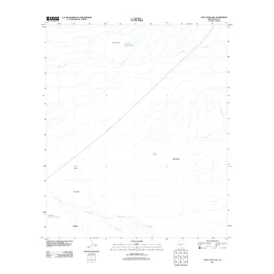
2011 Map of Koht Kohl Hill
USGS Topo · Published 2011About this map
Skoksonak and Quinlin anchor this arid landscape within the Schuk Toak District, illustrating the spatial arrangement of indigenous settlements in the early twenty-first century. The terrain is defined by several prominent rises, including Koht Kohl Hill, Cerro Negro, and Twin Peaks, which serve as critical landmarks in an area dominated by an intricate network of desert watercourses. Seasonal drainage is evident through features such as Aguirre Wash, Viopuli Wash, and House Wash, which carve through the basin.
Find a feature on this map
13 named features on this map. Tap any name to fly to it.
Don’t see what you’re looking for? This feature index may not catch every label — zoom into the map to look around manually.
Map Details
Editions of this 2011 Koht Kohl Hill Map
This is the sole edition of this map. No revisions or reprints were ever made.
Other maps of this area

1934 · Tucson Mountains
USGS Topo · 1:125,000

1934 · Silver Bell
USGS Topo · 1:125,000

1938 · San Vicente
USGS Topo · 1:62,500

1941 · San Vicente
USGS Topo · 1:62,500

1941 · Cocoraque Butte
USGS Topo · 1:62,500

1942 · San Vicente
USGS Topo · 1:62,500

1943 · Cocoraque Butte
USGS Topo · 1:62,500

1948 · San Vicente
USGS Topo · 1:62,500

1956 · Tucson
USGS Topo · 1:250,000

1958 · Tucson
USGS Topo · 1:250,000
Featured Places
- Skoksonak, Schuk Toak District
- Schuk Toak District, AZ
- Quinlin, Schuk Toak District
- Pima County, AZ
- United States