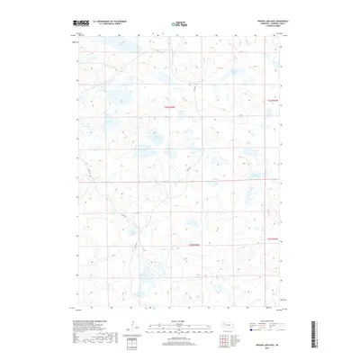
2017 Map of Krause Lake East
USGS Topo · Published 2017About this map
Sheridan County, Nebraska, is defined by an intricate network of shallow depressions and ephemeral water bodies across the Sand Hills. This landscape is dominated by numerous small basins such as Long Lake, Joe Lake, and the cluster known as Wilkinson Lakes. The presence of School Section Lake and School Section Lakes highlights the historic importance of state-owned school lands within the Public Land Survey System, a common feature of Western settlement patterns where specific sections were reserved to fund public education.
Find a feature on this map
19 named features on this map. Tap any name to fly to it.
Don’t see what you’re looking for? This feature index may not catch every label — zoom into the map to look around manually.
Map Details
Editions of this 2017 Krause Lake East Map
This is the sole edition of this map. No revisions or reprints were ever made.
Other maps of this area

1948 · Antioch
USGS Topo · 1:62,500

1948 · Lakeside
USGS Topo · 1:62,500

1948 · Twin Lakes
USGS Topo · 1:62,500

1949 · Antioch
USGS Topo · 1:62,500

1950 · Twin Lakes
USGS Topo · 1:62,500

1950 · Lakeside
USGS Topo · 1:62,500

1950 · Skunk Lake
USGS Topo · 1:62,500

1955 · Alliance
USGS Topo · 1:250,000

1957 · Alliance
USGS Topo · 1:250,000

1958 · Alliance
USGS Topo · 1:250,000