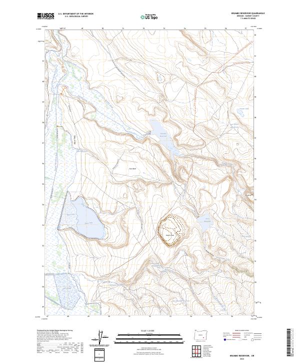
2024 Map of Krumbo Reservoir
USGS Topo · Published 2024About this map
The Malheur National Wildlife Refuge dominates this section of the Oregon high desert, where a complex network of man-made and natural waterways manages the arid landscape. The Donner und Blitzen River and the Krumbo Canal feed into the central Krumbo Reservoir, creating a vital oasis for migratory birds and local wildlife. This 2024 survey captures the intricate water management system of the Blitzen Valley, including features like Baca Lake, Knox Pond, and the Larkspur Reservoir.
Find a feature on this map
37 named features on this map. Tap any name to fly to it.
Don’t see what you’re looking for? This feature index may not catch every label — zoom into the map to look around manually.
Map Details
Editions of this 2024 Krumbo Reservoir Map
This is the sole edition of this map. No revisions or reprints were ever made.
Other maps of this area

1955 · Burns
USGS Topo · 1:250,000

1955 · Adel
USGS Topo · 1:250,000

1957 · Adel
USGS Topo · 1:250,000

1958 · Burns
USGS Topo · 1:250,000

1958 · Adel
USGS Topo · 1:250,000

1959 · Burns
USGS Topo · 1:250,000

1962 · Adel
USGS Topo · 1:250,000

1967 · Krumbo Reservoir
USGS Topo · 1:24,000

1967 · Jackass Butte
USGS Topo · 1:24,000

1967 · Frenchglen
USGS Topo · 1:24,000