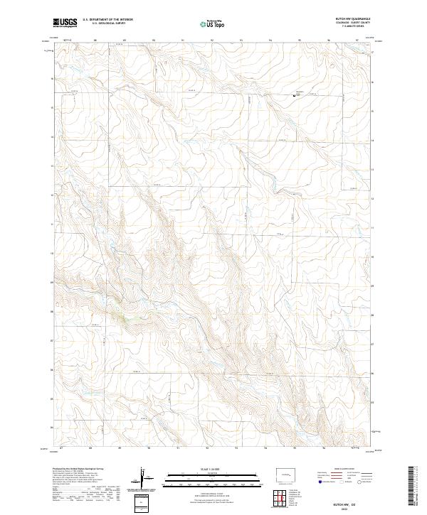
2022 Map of Kutch NW
USGS Topo · Published 2022About this map
Horse Cr and its numerous tributaries, including Little Horse Cr and Adobe Cr, carve a complex drainage pattern across this high plains landscape in Elbert County. The network of seasonal watercourses, featuring Mustang Cr and Antelope Cr, suggests a terrain defined by intermittent flows and gradual erosion. This section of the Colorado plains is organized by a rigid grid of county roads, such as Co RD 149 and Co RD 34, which provide the primary framework for the scattered ranching or agricultural operations in the area. Centrally located within this rural expanse, the Mountain View Cem serves as a significant local landmark for genealogical research. The map illustrates how human settlement has adapted to the arid environment, with the placement of roads and the single named cemetery reflecting a sparse but established community structure tied to the land's hydrology.
Find a feature on this map
27 named features on this map. Tap any name to fly to it.
Don’t see what you’re looking for? This feature index may not catch every label — zoom into the map to look around manually.
Map Details
Editions of this 2022 Kutch NW Map
This is the sole edition of this map. No revisions or reprints were ever made.
Other maps of this area

1889 · Sanborn
USGS Topo · 1:125,000

1891 · Sanborn
USGS Topo · 1:125,000

1891 · Limon
USGS Topo · 1:125,000

1892 · Limon
USGS Topo · 1:125,000

1893 · Sanborn
USGS Topo · 1:125,000

1893 · Big Springs
USGS Topo · 1:125,000

1953 · Denver
USGS Topo · 1:250,000

1954 · Limon
USGS Topo · 1:250,000

1954 · Lamar
USGS Topo · 1:250,000

1954 · Pueblo
USGS Topo · 1:250,000