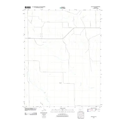
2010 Map of Kutch SE
USGS Topo · Published 2010About this map
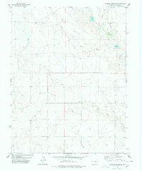
Liberty Bell Cemetery stands as a quiet focal point in this high plains landscape of Elbert County, marking a local point of reference for researchers tracing regional roots. The geography is defined by a dendritic network of ephemeral waterways, including the winding course of Horse Creek and its tributary Little Horse Creek, which drain the open range southward. In the northwestern quadrant, the presence of Hall Station along the roadway hints at the area's rural transit history. The map documents an extensive grid of county roads, such as County Road W and County Rd-14, which partition the territory into large agricultural or ranching tracts. This 2010 survey provides a clear view of the sparse settlement patterns typical of the eastern Colorado plains, where land use is dictated by the natural draws and drainages like Pats Draw and Skull Creek.
Find a feature on this map
25 named features on this map. Tap any name to fly to it.
Don’t see what you’re looking for? This feature index may not catch every label — zoom into the map to look around manually.
Map Details
Editions of this 2010 Kutch SE Map
This is the sole edition of this map. No revisions or reprints were ever made.
Other maps of this area

1889 · Sanborn
USGS Topo · 1:125,000

1891 · Sanborn
USGS Topo · 1:125,000

1893 · Sanborn
USGS Topo · 1:125,000

1954 · Lamar
USGS Topo · 1:250,000

1958 · Lamar
USGS Topo · 1:250,000
1975 · Kutch
USGS Topo · 1:24,000

1977 · Punkin Center
USGS Topo · 1:24,000
1978 · Peace Valley
USGS Topo · 1:24,000
1978 · Kutch NW
USGS Topo · 1:24,000
1978 · Sanborn Reservoir
USGS Topo · 1:24,000