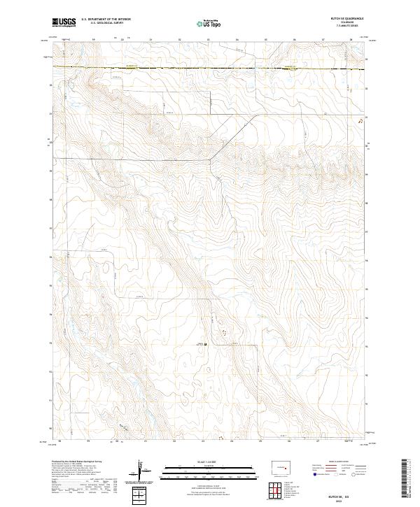
2022 Map of Kutch SE
USGS Topo · Published 2022About this map
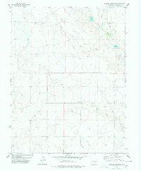
Horse Cr and its various tributaries define the drainage patterns of this High Plains landscape, where the border between Elbert Co and Lincoln Co bisects the northern sections. This 2022 survey captures a rural landscape shaped by seasonal watercourses and a strict section-line road network. The solitary presence of the Liberty Bell Cem in the central-southern portion of the quadrangle serves as a primary point of interest for genealogists and local historians, anchoring the surrounding agricultural sections. The map traces the winding paths of Skull Cr, Lone Tree Cr, and Mustang Cr as they navigate the subtle shifts in elevation, while Little Horse Cr and Pats Draw dominate the southwestern corner. The intricate system of county roads, including Co RD 185 and Co RD 11, provides clear access points across the prairie.
Find a feature on this map
31 named features on this map. Tap any name to fly to it.
Don’t see what you’re looking for? This feature index may not catch every label — zoom into the map to look around manually.
Map Details
Editions of this 2022 Kutch SE Map
This is the sole edition of this map. No revisions or reprints were ever made.
Other maps of this area

1889 · Sanborn
USGS Topo · 1:125,000

1891 · Sanborn
USGS Topo · 1:125,000

1893 · Sanborn
USGS Topo · 1:125,000

1954 · Lamar
USGS Topo · 1:250,000

1958 · Lamar
USGS Topo · 1:250,000
1975 · Kutch
USGS Topo · 1:24,000

1977 · Punkin Center
USGS Topo · 1:24,000
1978 · Peace Valley
USGS Topo · 1:24,000
1978 · Kutch NW
USGS Topo · 1:24,000
1978 · Sanborn Reservoir
USGS Topo · 1:24,000