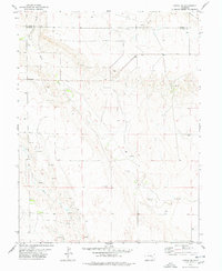
1978 Map of Kutch SE
USGS Topo · Published 1978About this map
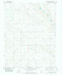
The High Plains landscape at the border of Elbert and Lincoln Counties is defined by a dendritic network of intermittent drainages and ranching landmarks. Horse Creek and its tributary, Little Horse Creek, flow through the southern portion of the quadrangle, while Lone Tree Creek and Mustang Creek drain the north. Local history is anchored by the Liberty Bell Cem and the settlement at Hall Station, which served this corner of the state. The reliance on groundwater in this arid region is evident by the numerous labels for Well and Spring scattered across the terrain. Human activity is further reflected in the small-scale industrial presence of several Gravel Pit sites and a remote Landing Strip located on the western edge of the survey area.
Find a feature on this map
18 named features on this map. Tap any name to fly to it.
Don’t see what you’re looking for? This feature index may not catch every label — zoom into the map to look around manually.
Map Details
Editions of this 1978 Kutch SE Map
This is the sole edition of this map. No revisions or reprints were ever made.
Other maps of this area

1889 · Sanborn
USGS Topo · 1:125,000

1891 · Sanborn
USGS Topo · 1:125,000

1893 · Sanborn
USGS Topo · 1:125,000

1954 · Lamar
USGS Topo · 1:250,000

1958 · Lamar
USGS Topo · 1:250,000
1975 · Kutch
USGS Topo · 1:24,000

1977 · Punkin Center
USGS Topo · 1:24,000
1978 · Peace Valley
USGS Topo · 1:24,000
1978 · Kutch NW
USGS Topo · 1:24,000
1978 · Sanborn Reservoir
USGS Topo · 1:24,000