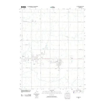
2009 Map of La Harpe
USGS Topo · Published 2009About this map
La Harpe and Gas anchor this portion of Allen County, where the transition from aviation infrastructure to rural cemetery sites reveals much about the area's development. Small-scale flight operations are centered at the National Airport south of Gas and Midway Air Park to the east, while the region's long-standing community roots are documented through the locations of Pioneer Cemetery, Saint Johns Cemetery, and La Harpe Cemetery. The landscape is defined by a grid of county roads such as Nebraska Rd and South Dakota Rd that navigate the drainages of Deer Creek, Rock Creek, and Elm Creek. In the north, the small settlement of Wise stands near the intersection of Texas Rd, reflecting the sparse but organized settlement pattern of the Kansas prairie during this era.
Find a feature on this map
43 named features on this map. Tap any name to fly to it.
Don’t see what you’re looking for? This feature index may not catch every label — zoom into the map to look around manually.
Map Details
Editions of this 2009 La Harpe Map
This is the sole edition of this map. No revisions or reprints were ever made.
Other maps of this area

1885 · Garnett
USGS Topo · 1:125,000

1886 · Iola
USGS Topo · 1:125,000

1893 · Iola
USGS Topo · 1:125,000

1894 · Garnett
USGS Topo · 1:125,000

1904 · Iola
USGS Topo · 1:125,000

1947 · Lawrence
USGS Topo · 1:250,000

1947 · Joplin
USGS Topo · 1:250,000

1949 · Joplin
USGS Topo · 1:250,000

1950 · Lawrence
USGS Topo · 1:250,000

1954 · Joplin
USGS Topo · 1:250,000