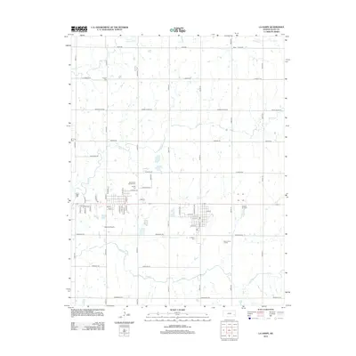
2012 Map of La Harpe
USGS Topo · Published 2012About this map
Gas City Cem and Saint Johns Catholic Cem sit at the geographic heart of this Allen County landscape, marking the transition from the grid-aligned township roads to the established residential blocks of La Harpe. The terrain is defined by a series of wandering tributaries, including Rock Cr and Elm Cr, which cut across the predominantly agricultural sections of the quadrangle. Transport and aviation history are evident in the proximity of the National Airport and Midway Air Park, serving this rural Kansas community. The map also captures several points of genealogical interest, from the La Harpe Cem to the northern Pioneer Cem near the settlement of Pioneer, alongside local infrastructure such as the Allen County Landfill.
Find a feature on this map
35 named features on this map. Tap any name to fly to it.
Don’t see what you’re looking for? This feature index may not catch every label — zoom into the map to look around manually.
Map Details
Editions of this 2012 La Harpe Map
This is the sole edition of this map. No revisions or reprints were ever made.
Other maps of this area

1885 · Garnett
USGS Topo · 1:125,000

1886 · Iola
USGS Topo · 1:125,000

1893 · Iola
USGS Topo · 1:125,000

1894 · Garnett
USGS Topo · 1:125,000

1904 · Iola
USGS Topo · 1:125,000

1947 · Lawrence
USGS Topo · 1:250,000

1947 · Joplin
USGS Topo · 1:250,000

1949 · Joplin
USGS Topo · 1:250,000

1950 · Lawrence
USGS Topo · 1:250,000

1954 · Joplin
USGS Topo · 1:250,000